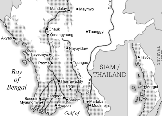
To begin: if you need a map that is highly accurate and technical, then I'm not your man. Instead you'll need someone who employs GIS (Geographical Information System) and talks the language of satellite imaging, data visualisation, geoinformatics and xyz coordinates.
The maps I draw could be described as sketch maps or reference maps. Even if they are visually simple, there is often much discussion back and forth between author or editor and myself, about what exactly we are wanting to show - and how best to show it. Dialogue is where much of the work is done, and that's often the fun bit. Also, the process of having a map drawn can help an author to clarify ideas about their subject.
You want a simple map. Here are some things to think about:
- Is the map to be printed or for a slideshow? If it is for printing, how big is the page?
- Can it be put on a rotated page if that suits the shape better?
- Is it to be colour or greyscale?
- Does the publisher have any style requirements?
- Is the caption typeset with the text, rather than being attached to the map?
- Do you have a list of all the places?
- Is it clear which are settlements (villages,towns, cities) and which are regions?
- Are the spellings standard modern usage? Or, if they are historical names, are they standard usage?
- Which source are you using for spelling?
- Do any names use diacritics?
- Do you have any existing maps or texts that will help with the making of your map?
- Is the map to reflect current geography?
- Water is slippery stuff. Might shifting seas, rivers, lakes and lagoons render your map anachronistic?
- Political borders are slippery too. Might your map cause a diplomatic incident?
- How soon do you need the map?
- Are you tired of all these questions?
- (I could think of more)

|


